


Gpx2go! app for iPhone and iPad
Developer: Guido Mocken
First release : 21 Nov 2011
App size: 3.02 Mb
Gpx2go! is a GPS track recorder and GPX file editor:
It allows you to automatically maintain a logfile of the positions that you visit over time. Additionally, you can manually set markers for special places.
The application is designed to store and organize data in a GPX v1.0 compliant way.
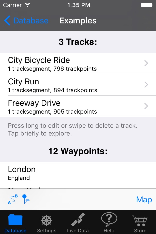
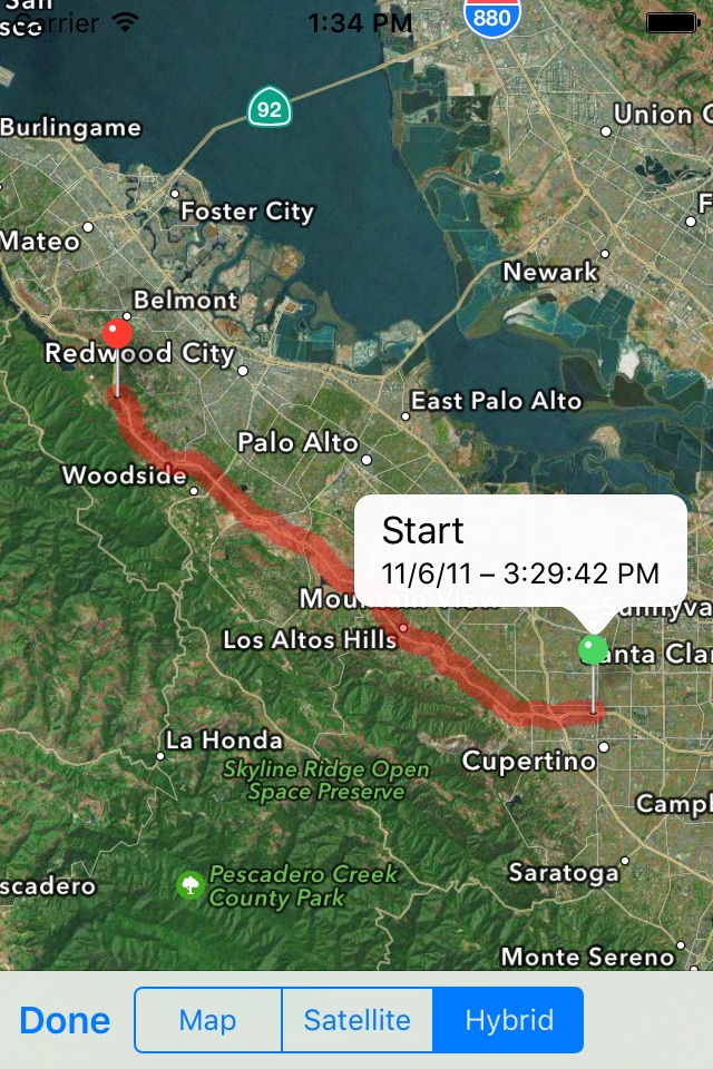
The recorded waypoints, trackpoints, tracksegments and tracks can be copied and moved within the applications database. They can also be displayed on a map and edited in appropriate ways. GPX v1.0 files can be imported from other apps and downloaded from the internet. They can be exported to Mac/PC via iTunes, to other apps, or sent as email attachments.
How does Gpx2go! differ from other track recorder applications which also feature GPX export?
• Simultaneous multiple recordings with different settings: Track the major movements of your whole life in low power mode while logging your entire holidays with medium accuracy and distance filter while recording a special day trip with the best precision and highest spatial resolution that your device can offer – all at the same time!
• Two different waypoint acquisition modes: Record your position either as fast as possible or as accurately as possible.
• Automatically fill in place names and addresses using Apples reverse geocoding service.
• Smart accuracy settings dialog that prevents you from using recording parameter combinations that do not work together (e.g. required high accuracy and low battery consumption) and that otherwise would result in empty track recordings.
• GPX output was very carefully validated against the corresponding XML-scheme – some other applications produce incorrect GPX.
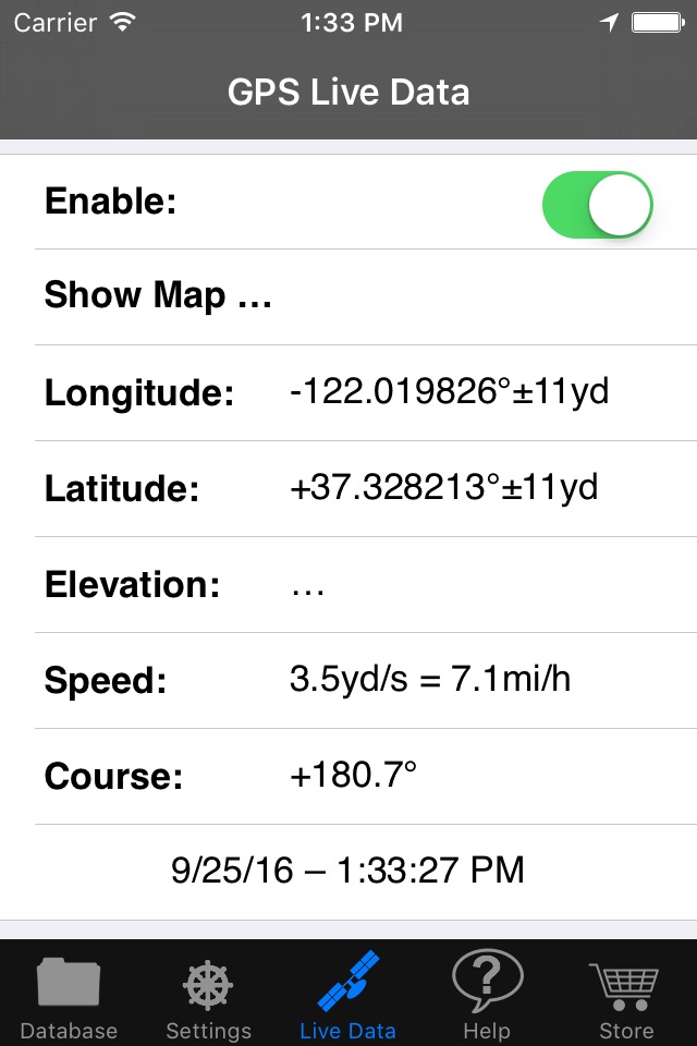
• Uses more GPX fields than many competing applications: Apart from the position and time stamps, it also records speed, course, elevation, horizontal and vertical accuracy. Tracks can be named, waypoints and trackpoints can be given both a short name and a longer description.
• Properly distinguishes between tracks and tracksegments, unlike many others.
• Complete control over your GPX data files: no enforced uploading to dubious web services, no memberships required. You access your files via the iTunes application or send them by email.
• Full support of both portrait and landscape mode throughout the entire application.
• Support of both metric and imperial units.
• Support of the mapsme API, see https://github.com/mapsme/api-ios.
Data privacy statement:
The app collects positions (longitude and latitude) and the associated time, speed, course, and elevation, as well as the horizontal and vertical accuracy of the position. All of this data is only stored locally on the iOS device, in particular, no data is ever transferred to the developer of the app. The app does however make explicit use of two Apple services, which, depending on Apples implementation, may or may not involve the transfer of position data to Apple servers. The first is the Apple CLGeocoder API for converting positions to human-readable place names. The second is the Apple MapKit API for displaying positions on a map. Finally, all locally stored data will implicitly be transferred to Apple iCloud, if the latter is used for backing up the entire device.
Note:
GPS position recording does not stop automatically when the app is sent to the background. Continued use of GPS running in the background can dramatically decrease battery life.
Acknowledgements:
Special thanks to Wesley Harris for proof-reading the help texts and labels of all user interface elements.